Real estate
Aerial photo & video
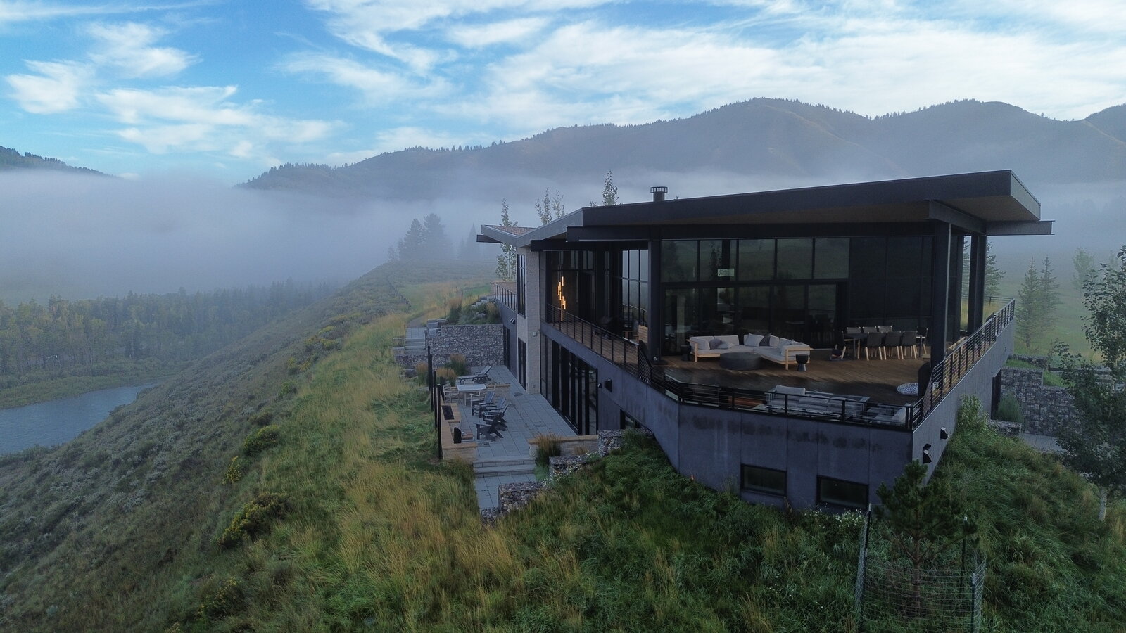
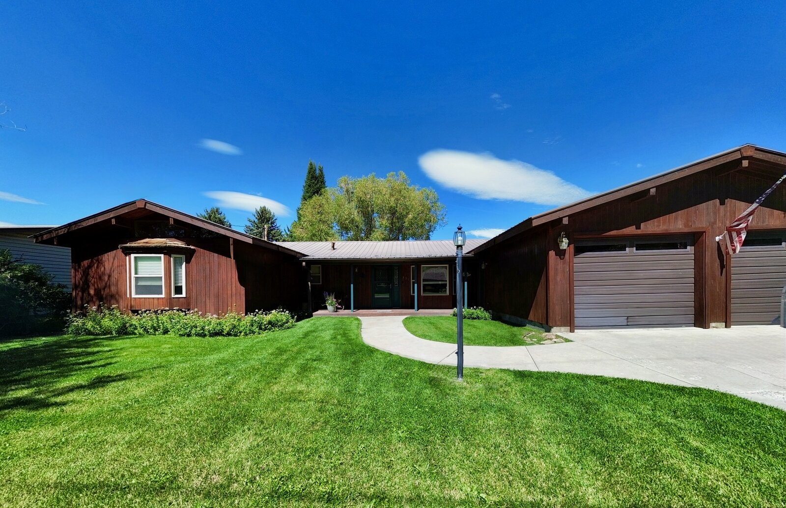
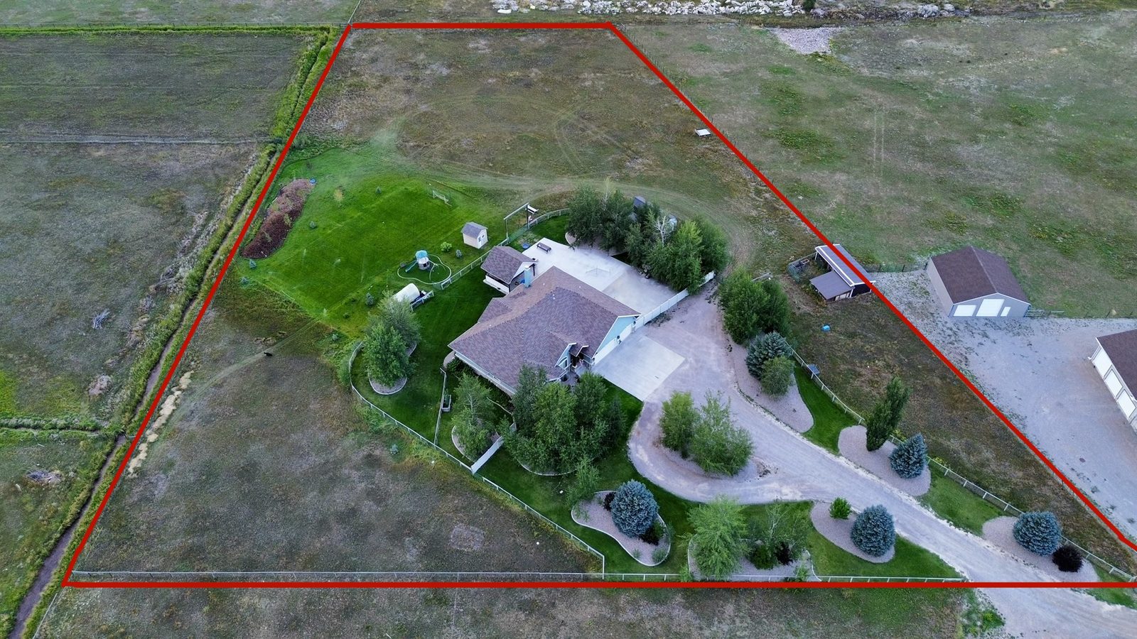
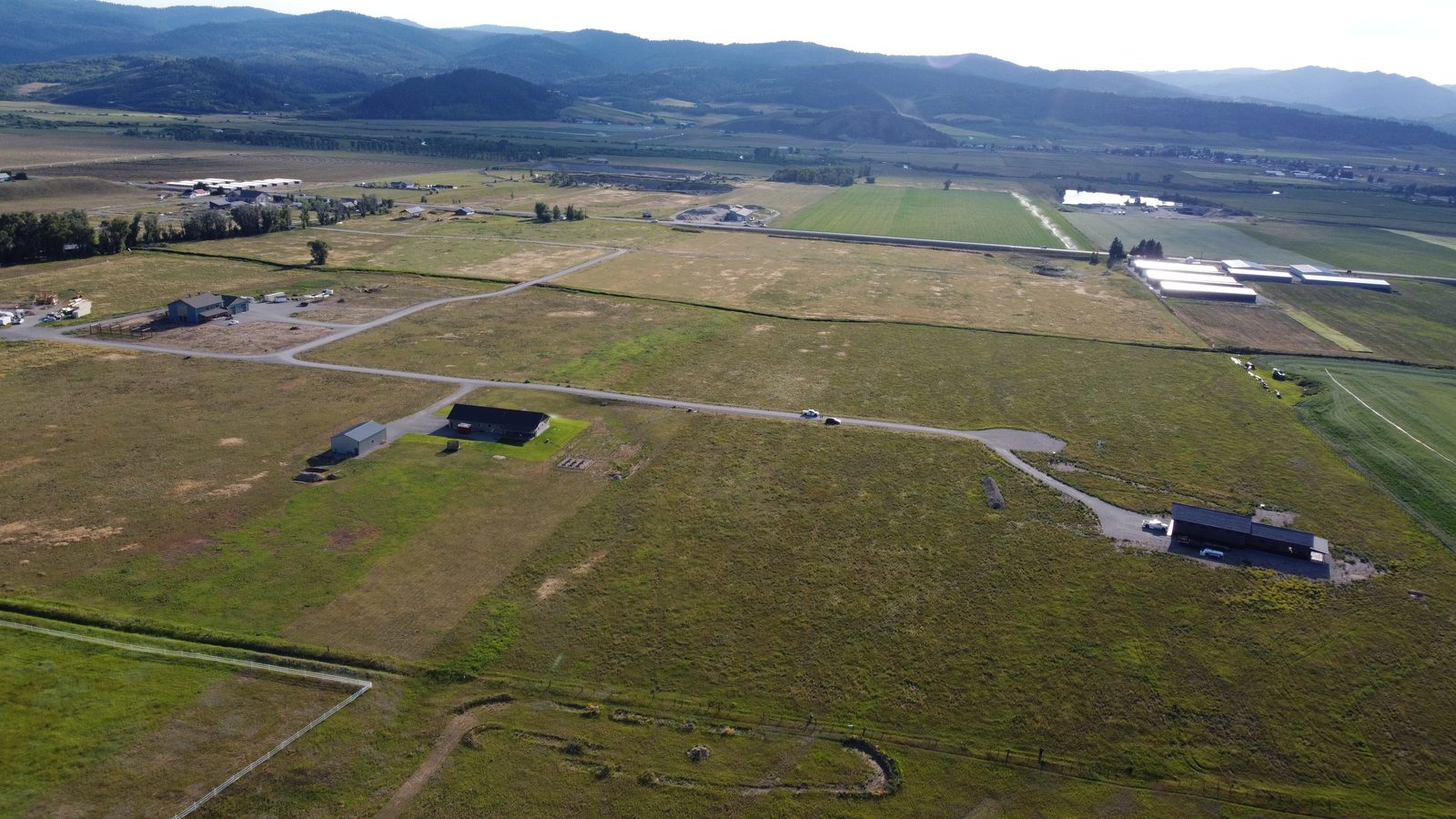
Listing media that shows the property, the acreage, and the mountains behind it. Shot for MLS specs and social.
- High-res stills & 4K video
- Property boundary overlays
- 24–48 hr turnaround
From $250
Get a quoteListing photos and video, roof inspections, mapping, and construction progress across Star Valley, Jackson Hole, and Teton Valley, Idaho — FAA Part 107 certified and insured, from $99.
Marketing a luxury property? See the Signature fly-through
FAA Part 107 certified · Insured · Flights from $99
Drone services
Aerial photography, mapping, and inspection flights — planned, legal, and insured, with deliverables ready to use the day you get them. Listing packages from $250, inspections from $150, construction progress from $99 a visit. Need something else in the air? Send us the details or text us — if a drone can do it, we fly it.
Real estate
Listing media that shows the property, the acreage, and the mountains behind it. Shot for MLS specs and social.
From $250
Get a quoteMapping
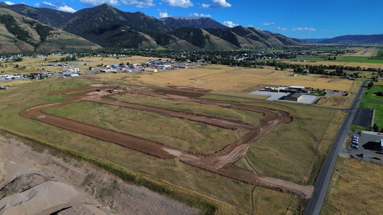
Orthomosaic maps, elevation models, and volume measurements for land, gravel, and construction sites.
By quote
Get a quoteInspections
Close-up inspection imagery without ladders or lifts. Document damage, verify work, and file claims faster.
From $150
Get a quoteSignature FPV · Luxury listings
Our premium offering for luxury listings, lodges, and high-end short-term rentals. We fly in the front door, move through the home the way a buyer would walk it, and exit over the back deck — one continuous, cinematic take that a standard drone shot can't match.
Signature FPV fly-throughFrom $1,500
7-second FPV teaser — entering the front door. Signature flights are delivered as one continuous take.
Our work
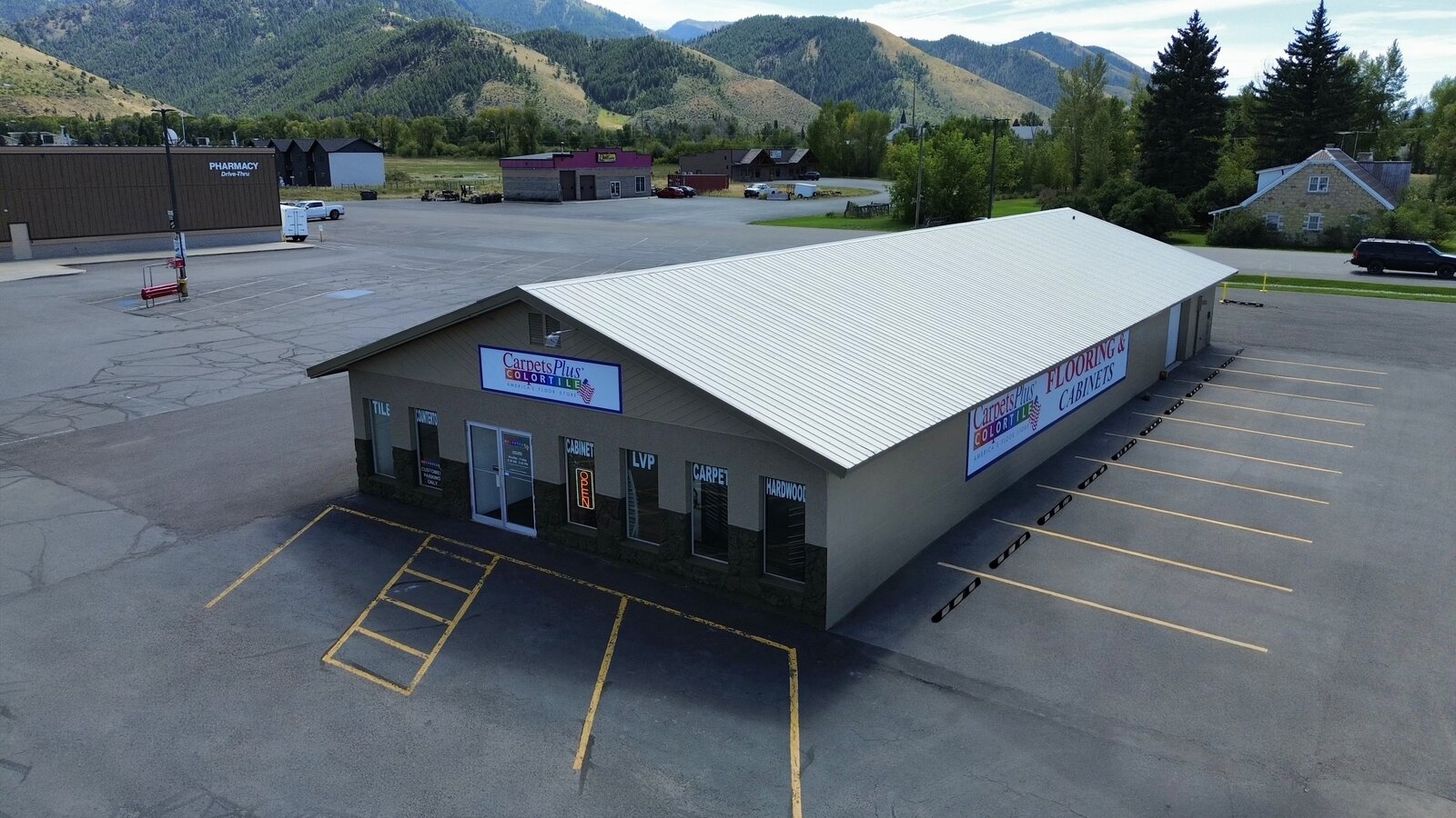
Commercial
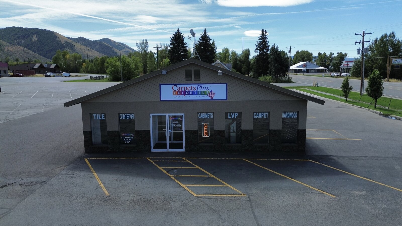
Marketing shots, roof condition, parking lot layout, signage visibility — aerial angles agents and property managers can't get any other way.
Progress documentation
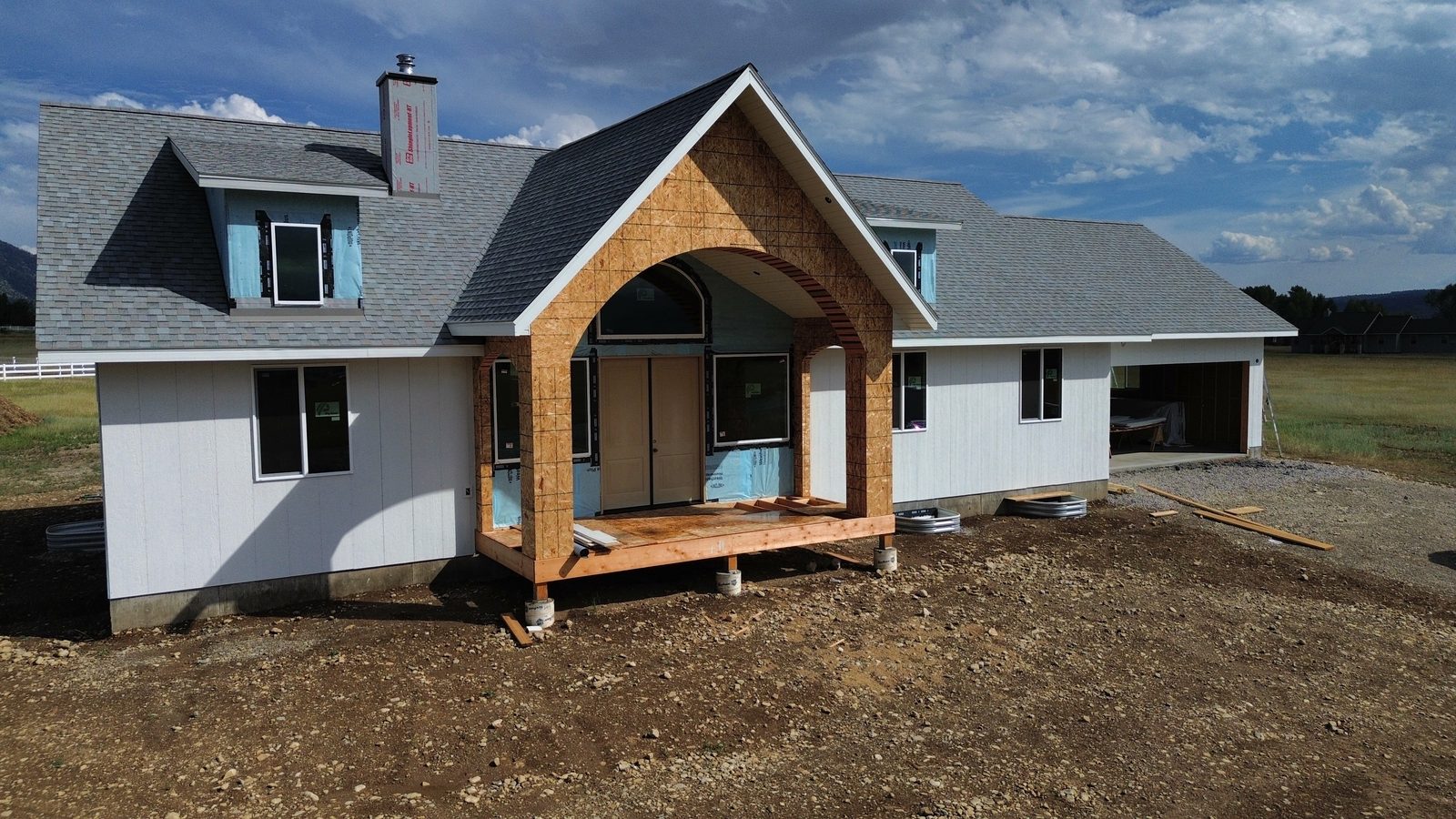
Real build, real flights: five months of a western Wyoming home build, shot from the same GPS position every visit. This is exactly what your job site gets — a dated aerial record from groundbreak to move-in, and a finished timelapse worth showing off.
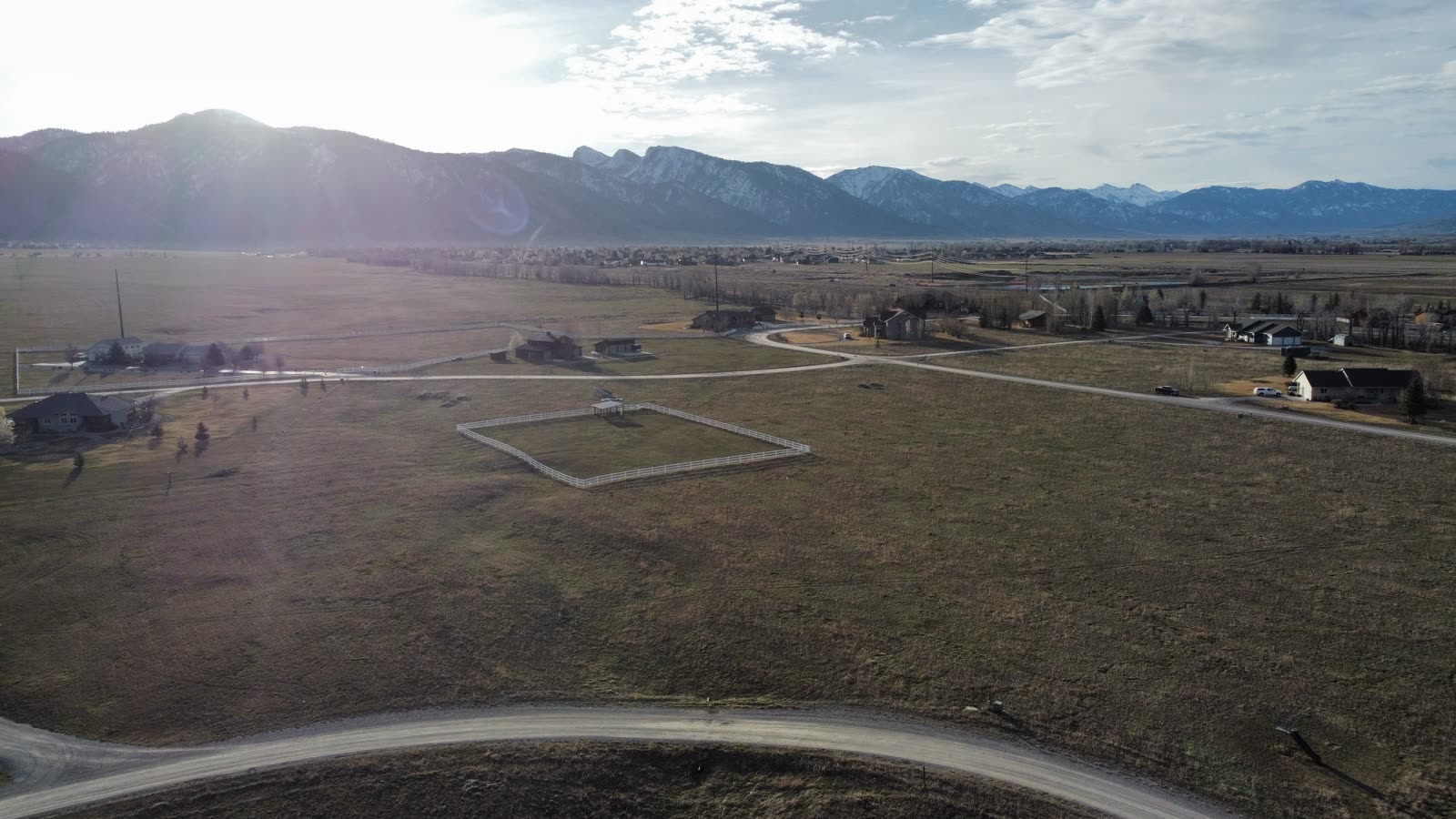
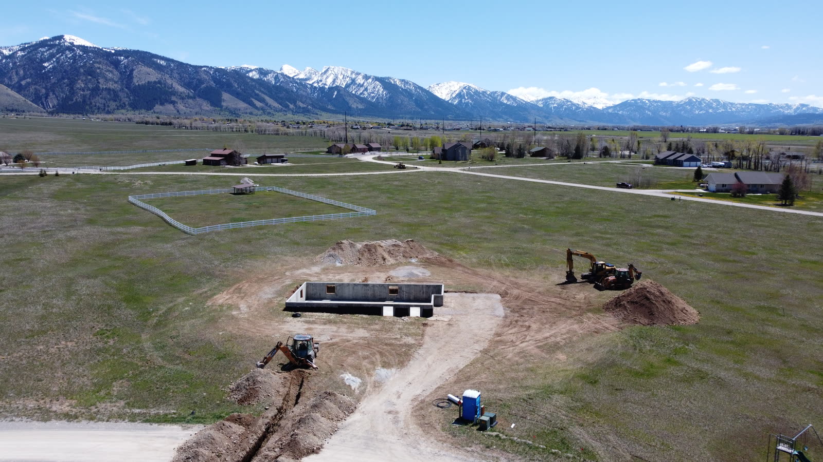
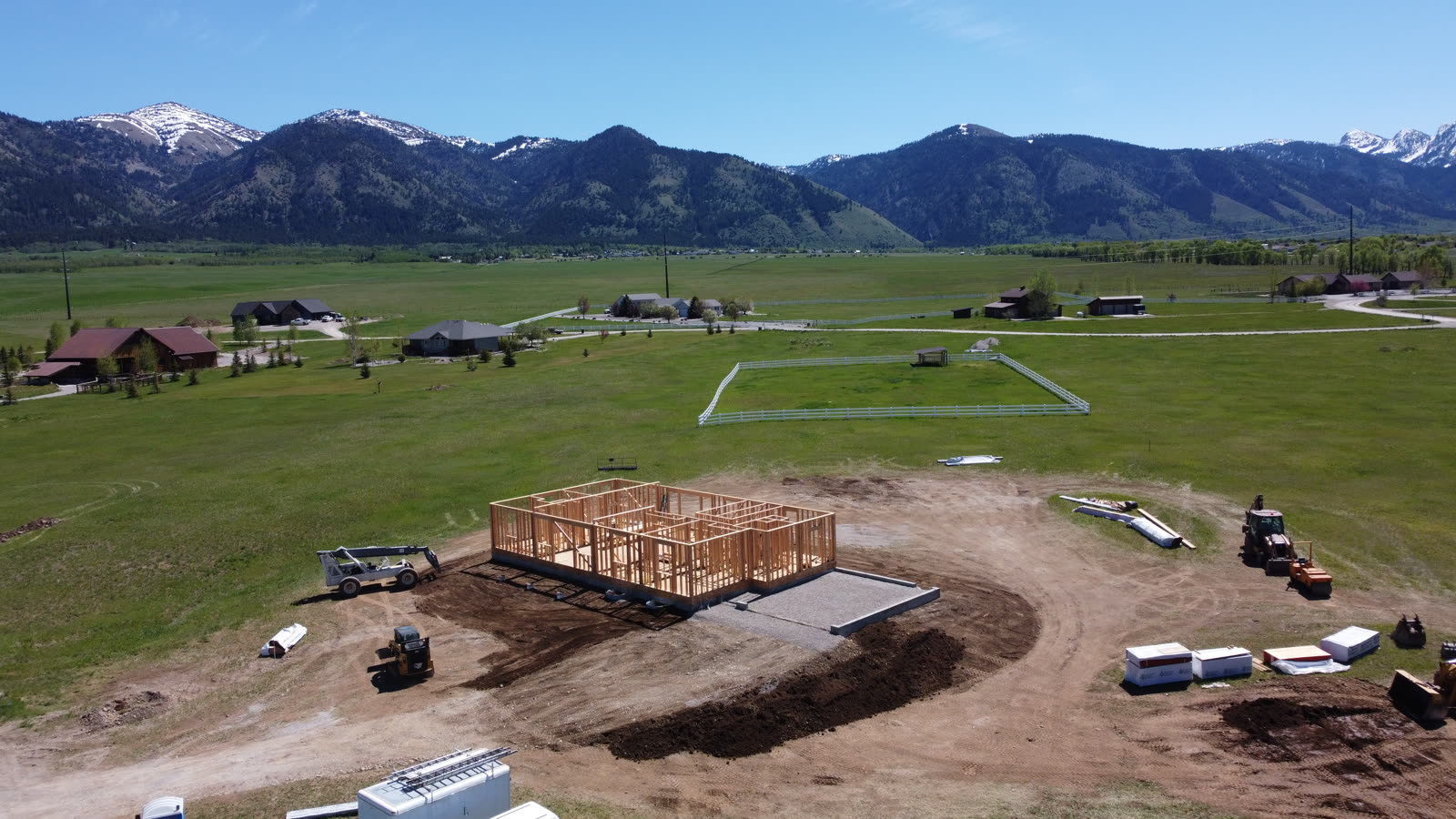
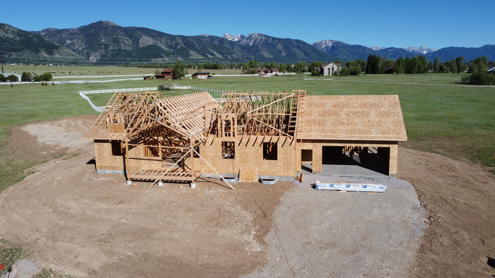
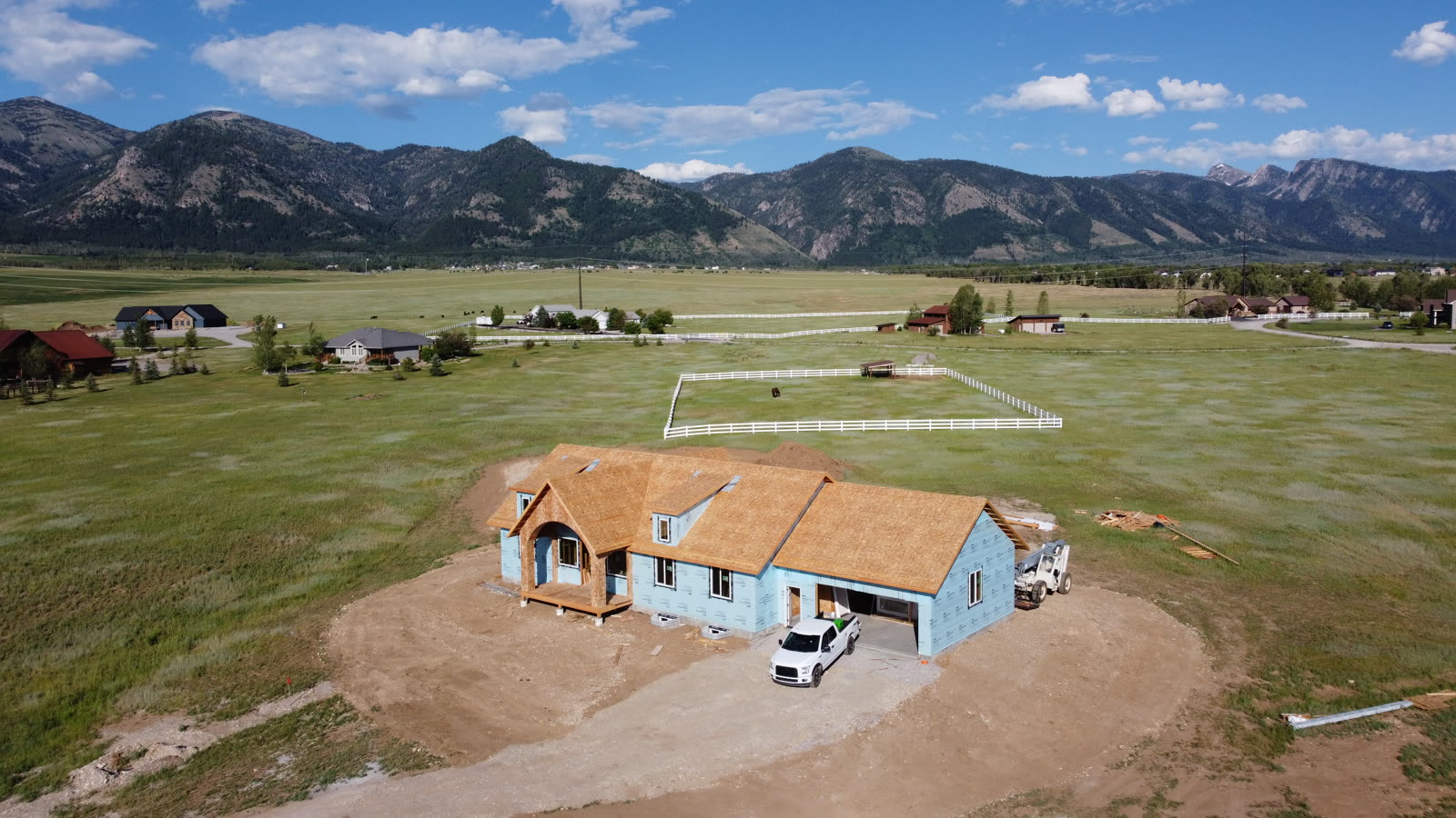
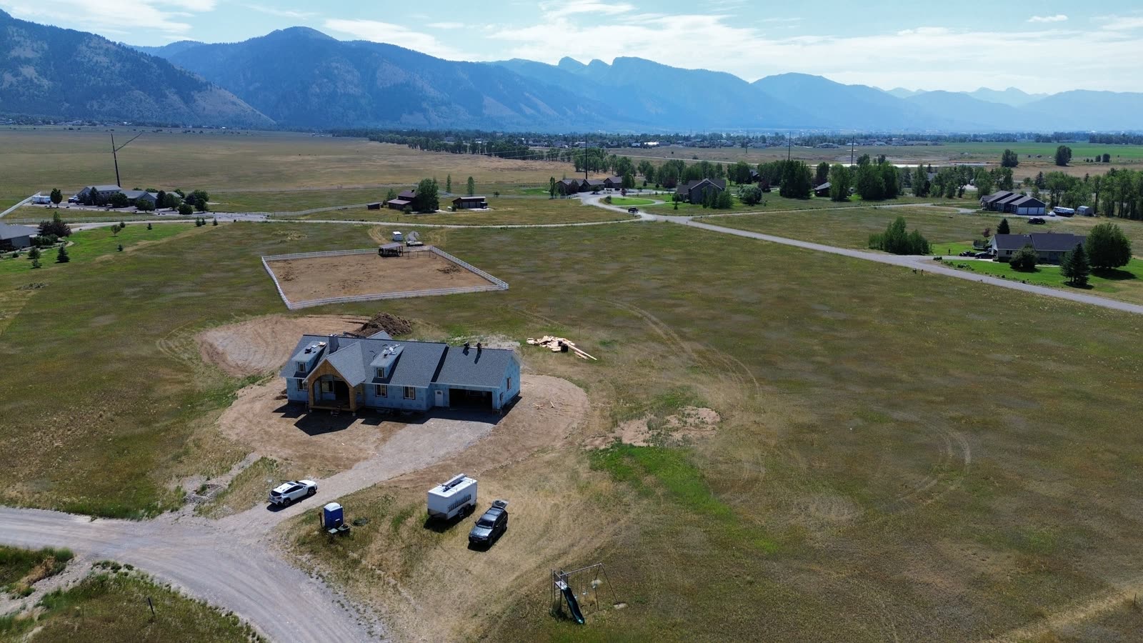
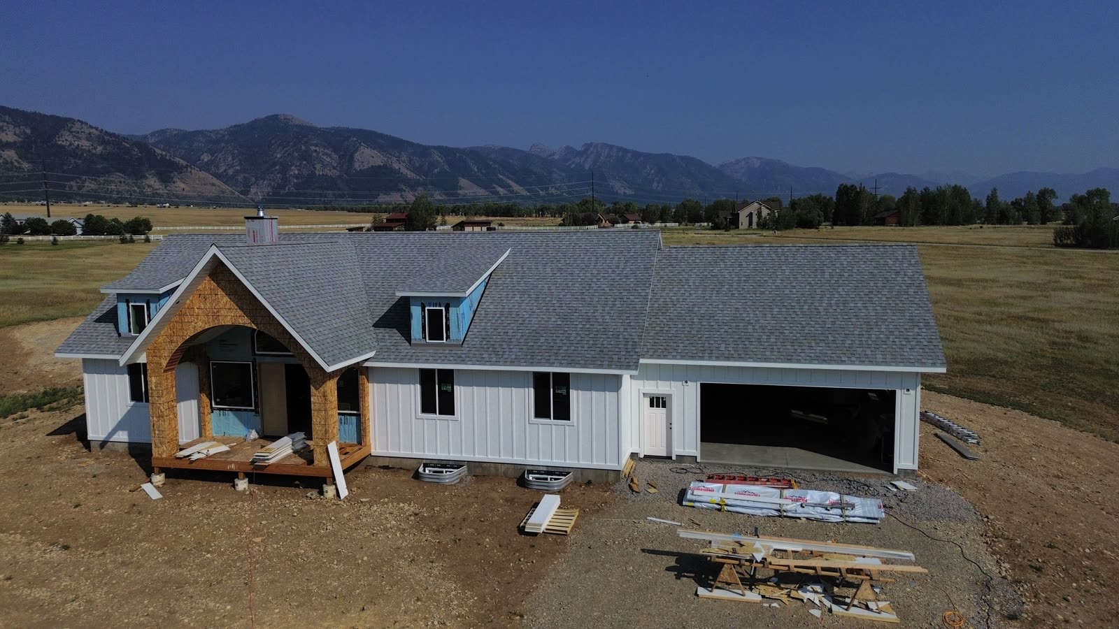
Builders and GCs use it for marketing and dispute-proof documentation. Owners building from out of town watch progress without driving to the site. Lenders get clean photo records for draw inspections.
From $99 / visit
Get a progress quotePricing
Most drone outfits make you call for a price. Ours start here — final quote depends on property size and travel.
Note: aerial maps and data are not a legal boundary survey — for boundary or title work we coordinate with a licensed land surveyor.
Add-ons
Coverage area
Same-week scheduling across the region, with every flight planned around mountain weather windows and airspace requirements. Tap an area for details.
Contact
Send the property address and what you need — photos, an FPV fly-through, a map, or an inspection — and we'll reply with a price and the next available flight window.
Text the property address and what you need. We'll reply with a price and the next available flight window.
Text us the job